IN-CORE Web Tools#
IN-CORE Web Tools is a set of web viewers for interacting with the different IN-CORE web services. The viewers enable users to browse, search, preview, and download items, such as Datasets, Hazards, and Fragility curves. Note that curves of Repairs, Restorations and Recoveries currently are not searchable. A future version of Web Tools will enable those information. There are three web tools: 1) Data viewer, 2) Hazard viewer, and 3) DFR3 viewer. Each viewer interacts with IN-CORE web services respectively: 1) Data service, 2) Hazard service, and 3) DFR3 (Damage, Functionality, Repair, Restoration, Recovery) service. These viewers can be accessed directly from the IN-CORE page

or from the IN-CORE Lab.
This section shows how to access and use IN-CORE Web Tools.
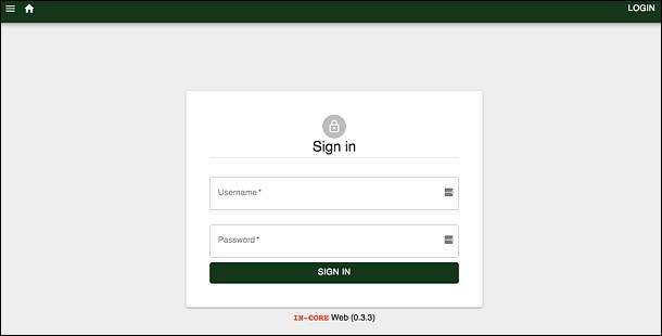
Users must login with their IN-CORE username and password in order to access the viewers:
This section shows how to access IN-CORE Web Tools and documentations on IN-CORE Lab.
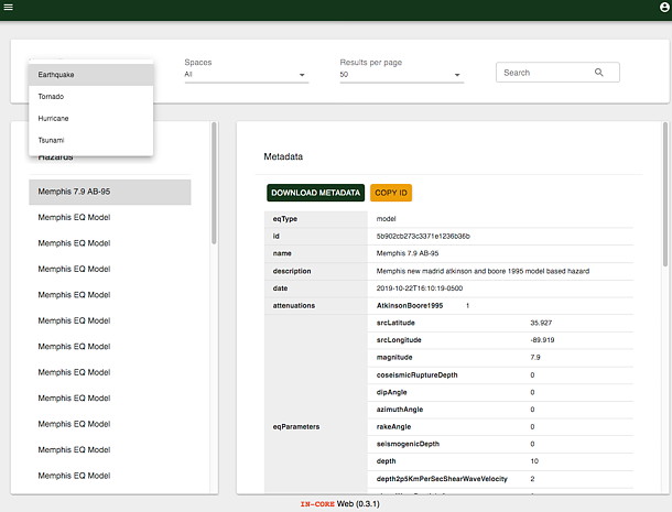
DFR3 Viewer#
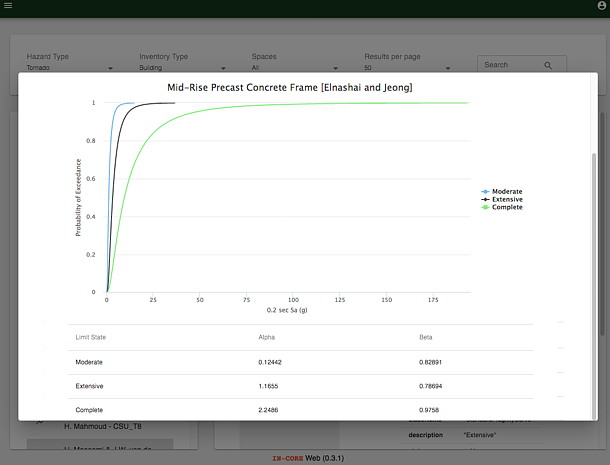
The DFR3 Viewer shows a list of Fragility curves in the left panel. The list comes from DFR3 service.
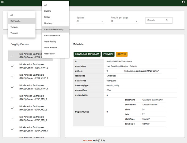
A user must specify Curve type (Fragility, Restoration, Repair) and then filter the list by selecting Hazards and types of structures in the drop down lists. Content of the Curve Type space can be searched by id or keywords entered in the Search field on the upper right side. The curve can be viewed in Preview panel and the metadata of the curve can be downloaded in JSON format.
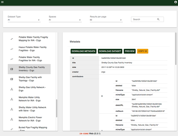
Data Viewer#
In Data viewer users can navigate datasets along with their metadata and preview (visualization) such as building inventory, bridge inventory, etc.
Hazard Viewer#
In Hazard viewer users can navigate pre-defined Hazards with a user interface similar to what has been shown for the other viewers. Users can filter the list of hazards by selecting them from the drop down lists.
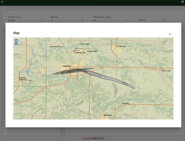
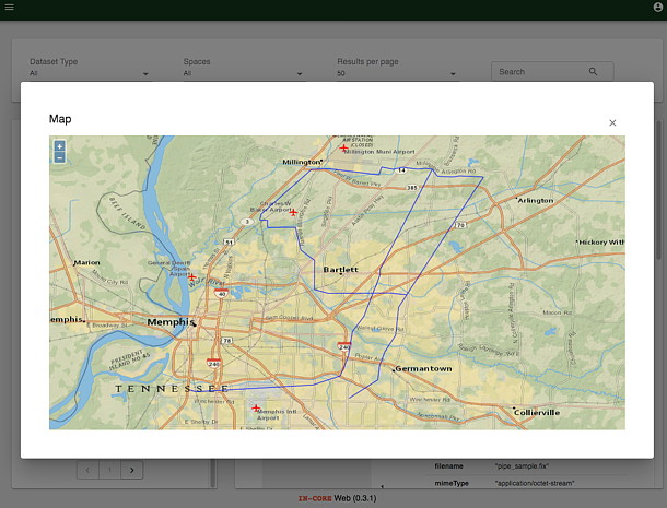
A hazard can be visualized if it has associated geospatial information, such as shapefile or geotiff. The following shows an example of a preview of a Joplin tornado path.